FAU introduces Fort Lauderdale flood explorer with a web version
The simulation lets users explore illustrative flood scenarios and potential responses across familiar parts of the city.
Key Takeaways
- •FAU describes a 3D model covering coastal and inland Fort Lauderdale locations.
- •The university says the experience has English and Spanish options, captions and a web version.
- •The flooding scenes are illustrative scenarios, not predictions for an individual property.
Florida Atlantic University and its partners have introduced a virtual reality experience that illustrates how flooding and sea-level rise could affect Fort Lauderdale, with a web version for people who do not use a headset.
Flooding Explorer: Fort Lauderdale uses a three-dimensional model of the city to show scenarios involving high tides, heavy rain, storms and rising seas, FAU said in an Oct. 27 announcement. The project is intended for public education and resilience planning.
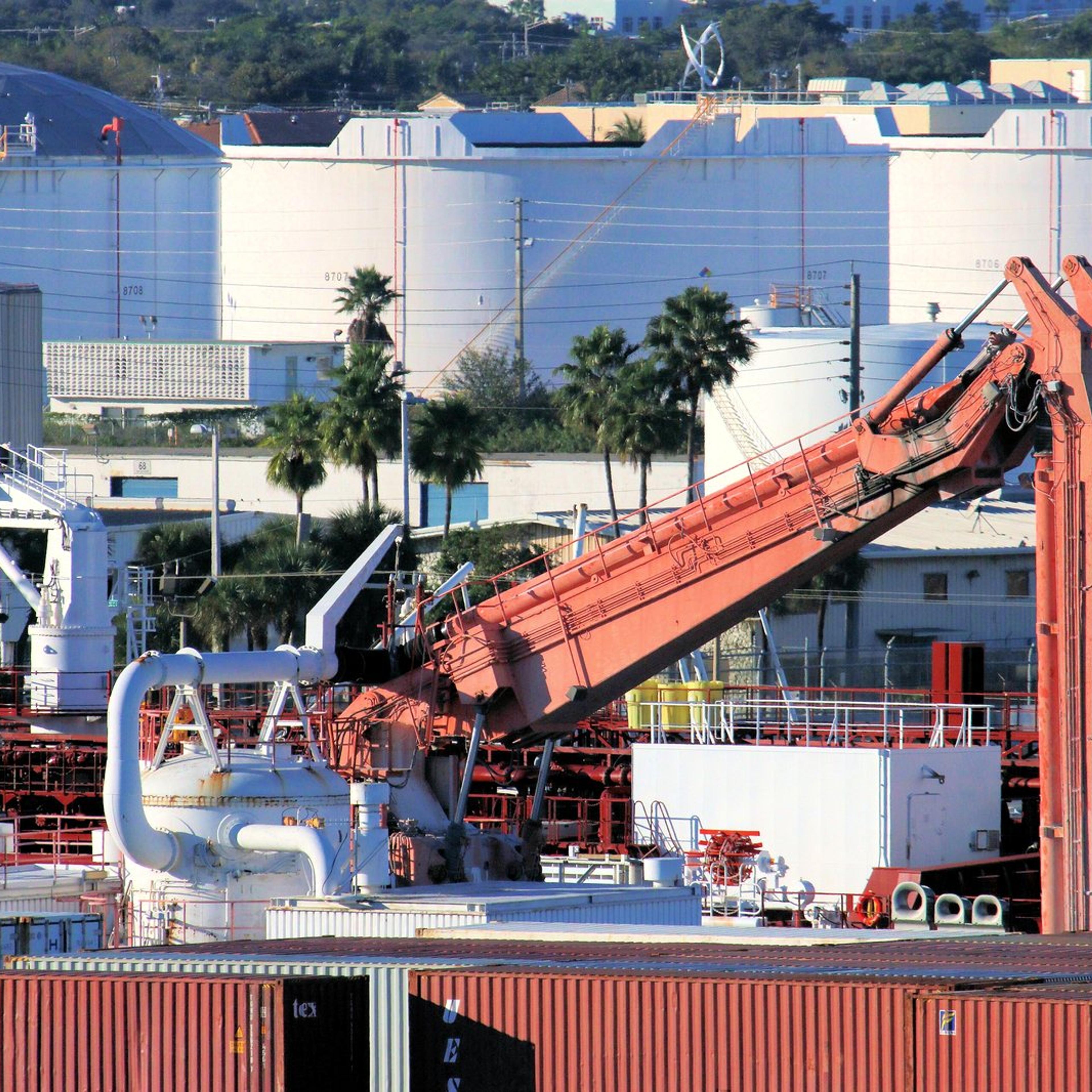
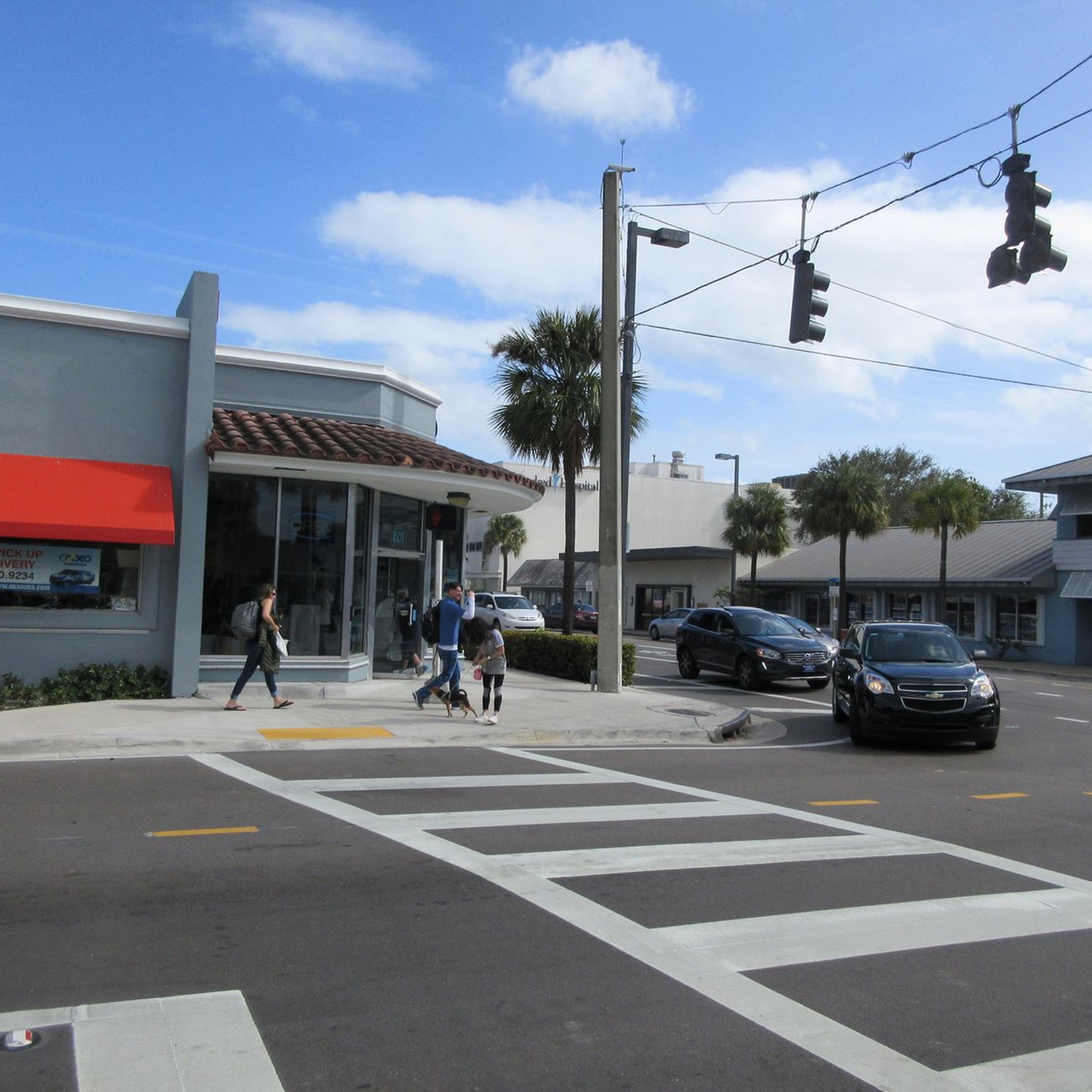
The experience begins at Bonnet House Museum and Gardens and extends to locations including Las Olas Boulevard, waterfront hotels, Victoria Park and the Museum of Discovery and Science, according to the university. FAU says users can move through the model, view aerial perspectives and compare scenarios with a slider.
These views are illustrations of possible conditions, not predictions of flooding at a particular home or a substitute for an official warning. They also do not establish an individual property's insurance cost or future value.
Scenarios and possible responses
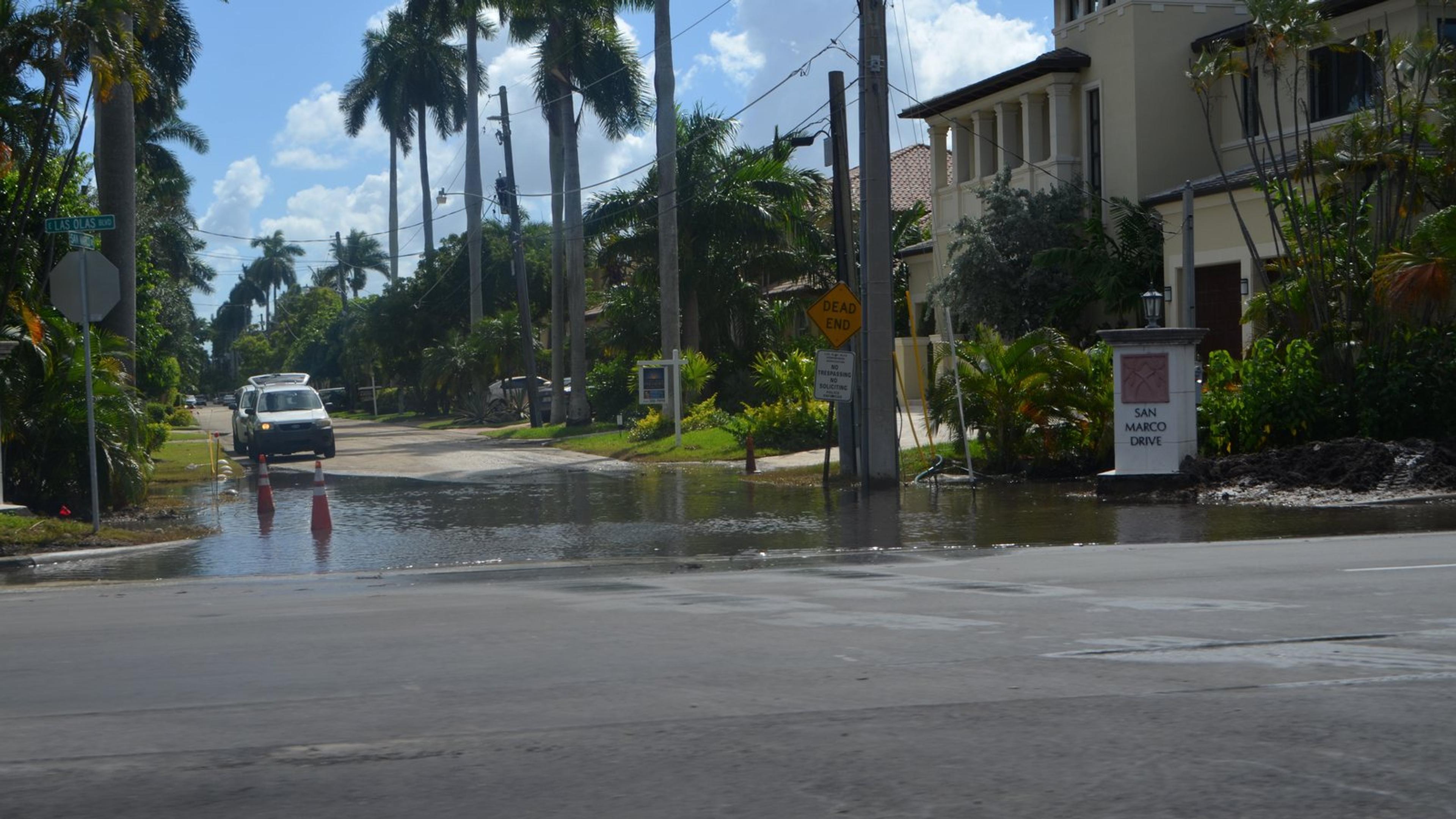
FAU says the model presents combinations of tides, storms and sea-level rise, including scenarios with three, four and five feet of higher seas. It shows how water can affect places away from the beach as well as the coast.
The experience also presents potential responses, including improved drainage, pumping stations, higher seawalls, wetland restoration and green infrastructure. These are examples of adaptation approaches in the simulation, not announcements that specific projects have been approved.
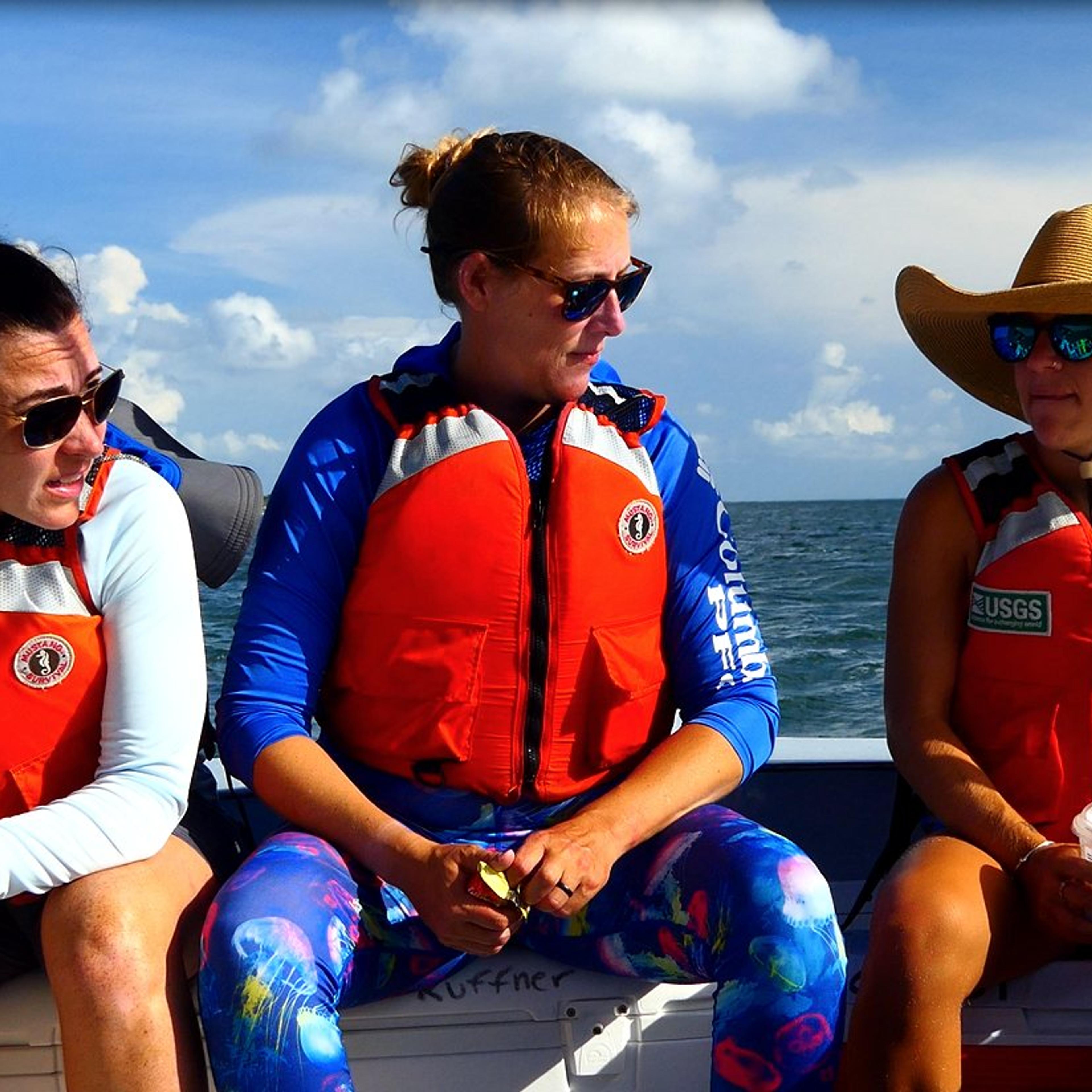
Serena Hoermann, director of FAU's Center for Urban and Environmental Solutions, led the project. The university identifies FAU, Virtual Planet Technologies, the Florida Division of Emergency Management, the Federal Emergency Management Agency, Bonnet House Museum and Gardens and the Museum of Discovery and Science among the collaborators.
FAU says the Florida Division of Emergency Management and FEMA provided funding. It did not give an award amount in the announcement.
How to access it
The university says the experience is available in English and Spanish, includes closed captions and can also be accessed through a web-based version. The web address is available through the project link; the features are described by FAU and were not independently tested for this article.
For residents and local organizations, the tool offers a way to discuss how flooding can affect streets, buildings and drainage systems across connected neighborhoods. The model is designed to make scenarios visible, while actual water levels and flooding depend on conditions at the time.
The Oct. 27 release coincides with Fort Lauderdale's seasonal king tide period, which FAU identifies as Oct. 24 through Oct. 31. Residents should use current local advisories for immediate conditions rather than treating a simulated scene as a forecast.